Straits State Park Overlook Trail
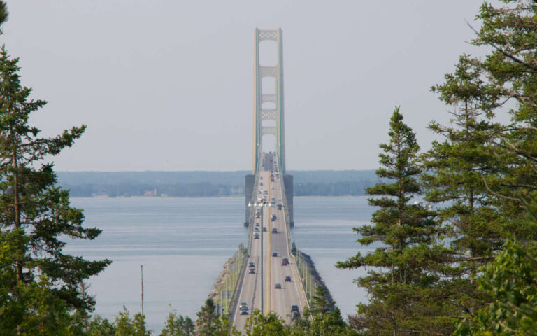
Explore a scenic loop featuring two iconic viewpoints of the Mackinac Bridge—perfect for hikers, families, and history lovers.
Trail Description
A gentle 1.0 mi (1.6 km) loop through Straits State Park starts at the day‑use parking area and leads to two unique overlooks:
Bridge Overlook Platform – A wheelchair-accessible deck aligned with the Mackinac Bridge’s center, featuring a binocular scope and panoramic Straits views.
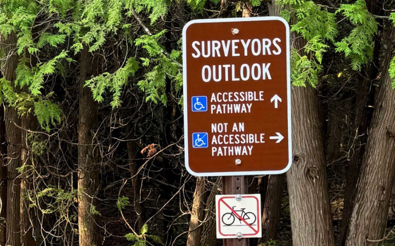
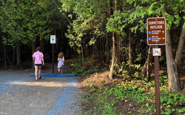
Surveyors’ Outlook Spur – A short 500 ft (150 m) path descending from the upper campground area to a historic surveyor’s point that marked the bridge’s original center point during construction.
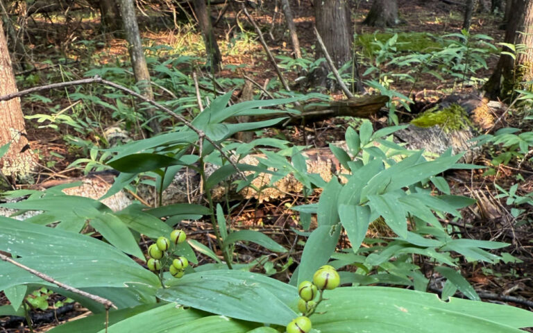
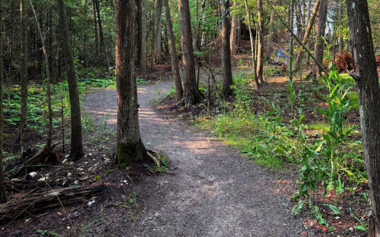
These walkways wind through woodlands and boardwalks framed by wildflowers and fall foliage. The loop connects seamlessly with the North Country National Scenic Trail, making it a great stop for thru‑hikers or casual walkers.
Trail Highlights & Connections
Two distinct viewing platforms: one accessible deck for families, and a historic, wooded overlook rooted in the bridge’s planning legacy
North Country Trail link: A 0.75 mi (1.2 km) blue-blazed connection runs through park woods
Located in a Scenic Overlay Zone safeguarding great Straits and bridge views
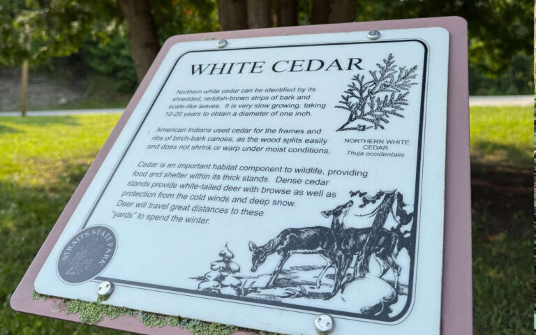
Rich interpretive elements: flora & fauna, cultural zones, and a Father Marquette Memorial nearby
Trailhead & Access Details
Start point: Straits State Park day-use lot, off Church Street (no fee for foot or bike access)
Alternate access: Upper campground loops (near sites 190–225) provide entry to the Surveyors’ Outlook
Parking & amenities: Ample space, seasonal modern restrooms, picnic areas, playgrounds, and water fountains
Conditions & Tips
Trail surface: Mix of gravel, boardwalks, and paved walkway near the accessible platform
Elevation: Minimal (~65 ft / 20 m total); both overlooks reachable by easy walking
Seasonal access: Open year‑round; boardwalks may be icy in winter
Pets: Leashed dogs welcome on the trail
Connectivity: Scenic route along the Straits, excellent birdwatching in spring & fall
Trail Details
Length: 1.0 mi (1.6 km) loop with 500 ft (150 m) spur to Surveyors’ Outlook.
Elevation Gain: 65 ft (20 m).
Route Type: Loop with spur.
Surface: Gravel, dirt, and boardwalk.
Difficulty: Easy.
Season: Year-round.
Pets: Leashed dogs allowed.
Parking: Day-use area and upper campground.
Restrooms: Seasonal modern restrooms near day-use lot.
Accessibility: Main overlook is wheelchair-accessible.
Trail Activities
Hiking & Walking.
Bridge & Landscape Photography.
Bird & Wildlife Viewing.
Picnicking (tables and shelters nearby).
North Country Trail connections.
Winter Strolling (with caution for icy conditions).