ORV & ATV Trails
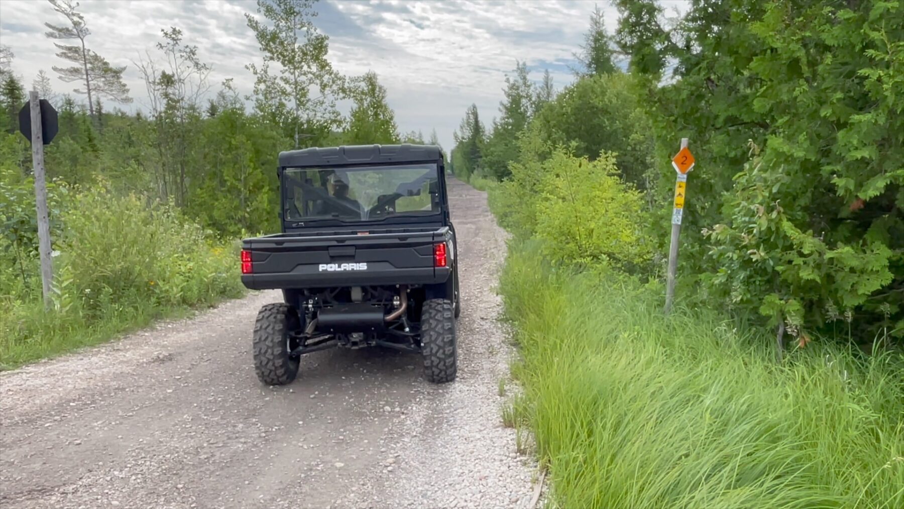
St. Ignace is a convenient starting point for exploring ORV and ATV trails across the eastern Upper Peninsula. Riders can connect to state designated routes that travel through forests, small communities and public land throughout the region. Use the interactive trail map below from the Michigan Department of Natural Resources to plan your ride and discover trail connections near St. Ignace. You can also download pdf maps for specific routes from the DNR website
ORV and ATV Trail Access Near St. Ignace
Several ORV routes connect to the St. Ignace area, allowing riders to travel north toward Trout Lake and Sault Ste. Marie, west toward Newberry and Curtis, or east toward Cedarville and the Lake Huron shoreline. These routes link communities throughout the eastern Upper Peninsula and provide access to fuel, food and lodging along the way.
Planning Your Ride
St. Ignace offers a convenient base for riders exploring the eastern Upper Peninsula trail network. Lodging, restaurants, fuel stations and supply stores are located close to the Mackinac Bridge before heading out to nearby ORV routes.
Many riders stay in St. Ignace and plan day trips across the region, returning to town after exploring forest routes and connecting communities across the eastern Upper Peninsula.
ORV and ATV Trail Map
Use the interactive map below to explore ORV and ATV routes maintained by the Michigan Department of Natural Resources. The map allows riders to zoom in, locate staging areas and see how trail systems connect across the eastern Upper Peninsula.