Soo Strong Trail

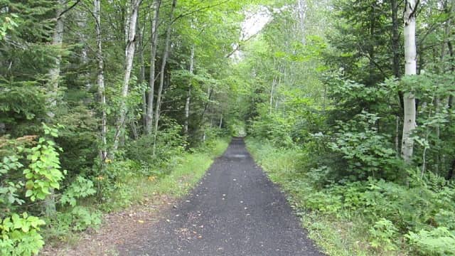
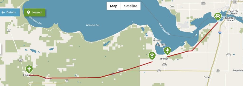
The Soo Strongs Trail runs for 32 miles, mostly following part of an abandoned rail corridor of the old Soo Line, between Sault Ste. Marie and the small community of Eckerman. There’s a gap in the trail between Beaune Road at W. Irish Line Road and S. Deland Street near Brimley State Park. The western segment is mostly contained within the Sault Ste. Marie State Forest.
Parking and Trail Access
Parking for the west segment is in Eckerman. In Sault Ste. Marie park at the eastern terminus on Foss Street.
Directions to Sault Ste. Marie Trail Head
Trail Details
Length: 51.5km
Trail end points: Foss St. (Sault Ste. Marie) and SR 123 at Sheldon Rd. (Eckerman)
Trail Activities
Biking
Hiking
Cross Country Ski
Snowshoe

