There are thousands of miles of trail that are available to explore here in Michigan and many of the best are here in St. Ignace! We’ve compiled a guide to the best trails in the St. Ignace, MI area for hiking, snowshoeing, and snowmobiling.
This 4,800-mile trail stretches from Vermont to North Dakota and is open to snowshoeing and cross-country skiing. You can start your adventure at the downtown boardwalk in St. Ignace and then head northwest into the picturesque Hiawatha National Forest. During your trek, you will crisscross the Two-Hearted River 3 times, while heading toward Lake Superior. If you stay on the trail, you’ll be able to see the shorelines of Lake Superior, Lake Michigan, and Lake Huron, in addition to the Mackinac Bridge, St. Ignace, Tahquamenon Falls State Park, Lake Superior State Forrest and the Muskallonge Lake State Park.
This set of trails are about 11 miles west of St. Ignace, and offer many different levels of challenge to Cross Country Skiers. As the name implies the trails move through the sand dunes of northern Michigan all along the coast of Lake Michigan, clocking in at about 7.6 miles of trail for the most advanced trail, and about 1.5 miles for the easiest. Groomed for classic style cross country skiing, the advanced trails are full of steep climbs, and sharp turns though hard wood forests, while the easiest trails are the perfect place for beginners to learn and start. The Sand Dune Cross Country Ski Trail has ample parking and an outhouse available for use at the Trailhead. Click here for more information.
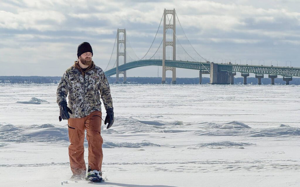
Some of the most popular Snowshoeing trails, the Straits State Park offers an easier hike and brilliant views of the mighty Mackinac Bridge, and the Straits of Mackinac. The trails here are typically very broken in as the locals use them often. The Main Trail is only about a mile of pure hiking or cross-country skiing bliss, and connects two camp grounds. Click here for a map of the State Park.
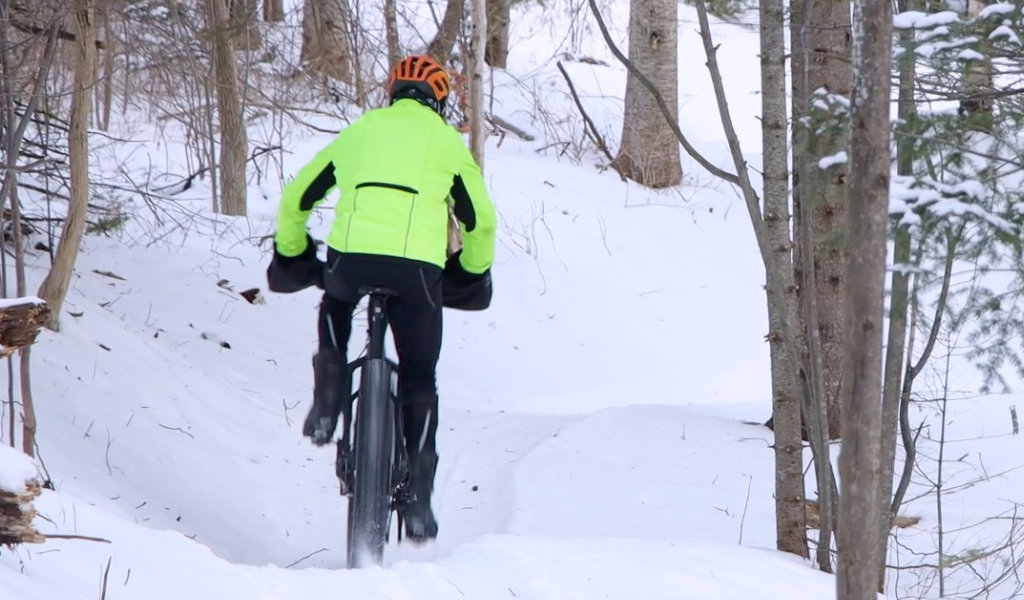
Silver Mountain Hike & Bike Trail (Fat Biking + Winter Riding)
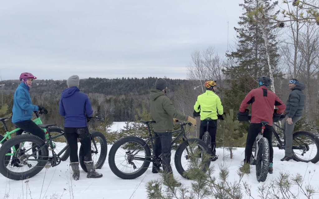
Silver Mountain Hike & Bike Trail offers a growing system designed for mountain biking, with winter fat-tire riding becoming increasingly popular. The forest terrain rolls gently with a mix of singletrack and forest service roads, making it fun to explore even after the snow settles. Riders bring fat bikes once the snow packs in, and snowshoers enjoy the quiet pathways as well. The trail sits just inland from St. Ignace with easy access and plenty of room to wander beneath tall evergreens.
Snowmobile Heaven – St. Ignace to Trout Lake
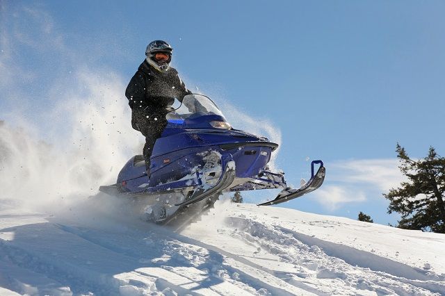
Formerly an abandoned Railroad grade, this trail is easy to hike or snowmobile, and is dog friendly provided they’re on a leash. Roughly 28 miles long, this trail though the Mackinaw Wilderness is a must do for your visit to St. Ignace. The trailhead in St. Ignace is near the Little Bear East Arena on Marquette Street. The trailhead on Trout Lake is located off of M-123 about a half mile from the railroad crossing. You can find more great places to snowmobile here.
Sign Up For Our Newsletter
Sign up for our newsletter and receive four seasonal editions.